
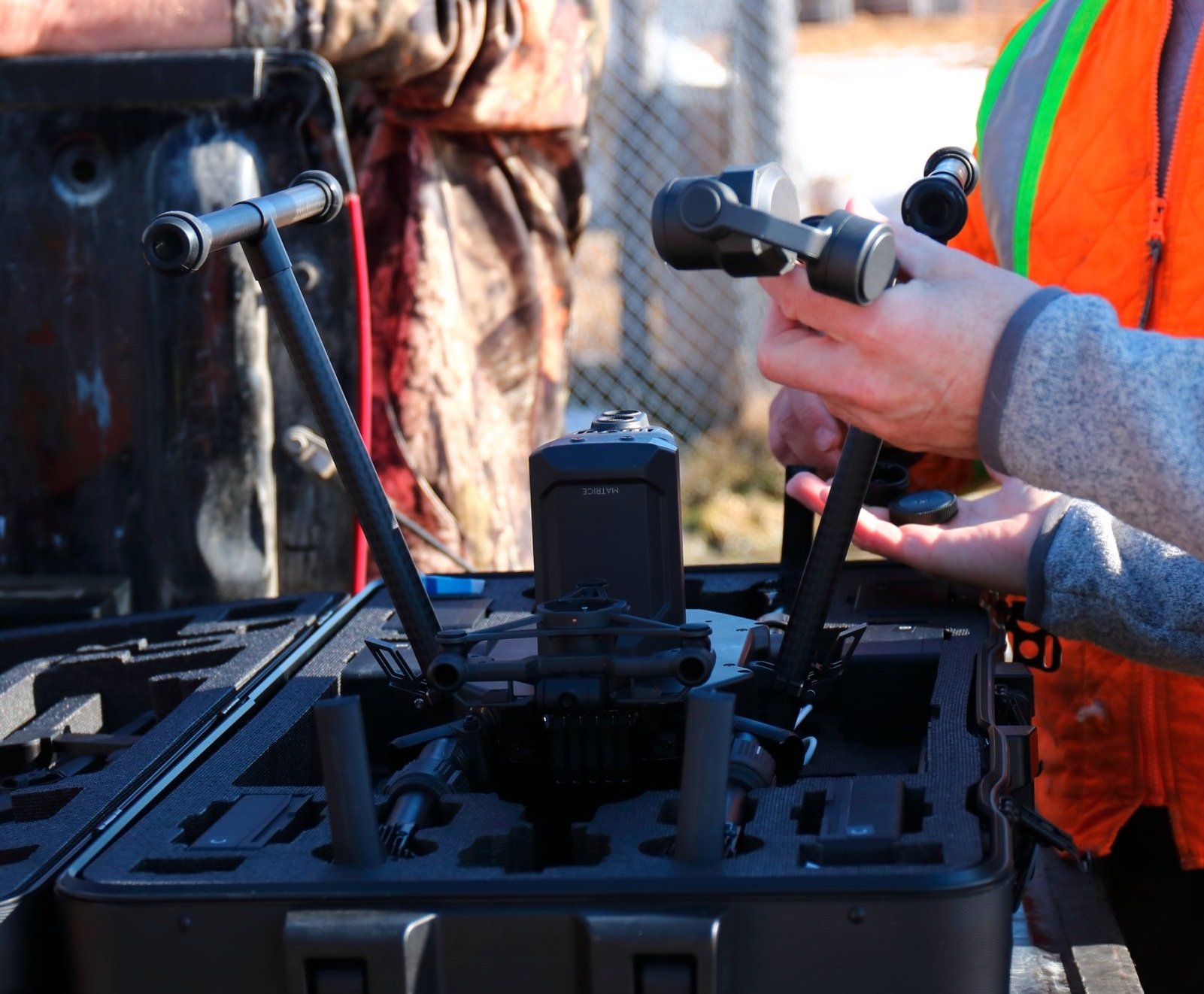
Wildfire Drone Operations in Temporary Flight Restriction Areas: Navigating the Special Government Interest Process
Discover how to navigate Temporary Flight Restrictions (TFRs) in wildfire areas with drones. This guide covers obtaining necessary waivers through the Special Government Interest Process (SGIP), ensuring quick and effective drone deployment for wildfire management.

Elevate Your Drone Mapping Projects with 7 Essential Aerial Mapping Tools
In today's digital age, drone mapping stands at the forefront of technological innovation, transforming sectors like agriculture, urban planning, environmental monitoring, and construction. With the precision and efficiency offered by drone mapping, professionals can gather detailed geographical data faster and more accurately than traditional methods. We outline all the most crucial tools you will need to start mapping today.

From Tusks to Tablets: Unearthing Ancient Cartography Before the Common Era
Explore the fascinating journey of ancient cartography, from Paleolithic carvings on mammoth tusks to the cosmographic maps of Mesopotamia. Discover how ancient peoples navigated and understood their world long before the advent of modern digital mapping tools.
Ultimate Guide to Buying Drones for Mapping: 9 Expert Tips
Discover the top 9 essential buying tips for choosing the perfect drone for your mapping projects. Our expert guide covers everything from camera quality to software compatibility, ensuring you make an informed decision for your mapping needs. Elevate your aerial mapping projects with the right drone - read our comprehensive guide now!

Fire AI Rebrands to Nova
For YEARS we have wanted to take on the challenge of making a simpler, easier to use mapping platform. One that allowed us to process, manage and store drone imagery and get mapping products to our clients with only one tab open on our laptops.