Mapping 101: Your Cartography Crash Course
Welcome to Mapping 101, your cartography crash course. Maps are a beautiful balance between science and art, serving as both tools for navigation and mediums for storytelling. They play a pivotal role in our understanding of the world, providing insights into everything from geographic features to social dynamics. While the types of maps and their applications are nearly endless, most maps can be generalized as either a reference map or a thematic map.
Creating a Map with Drone Imagery
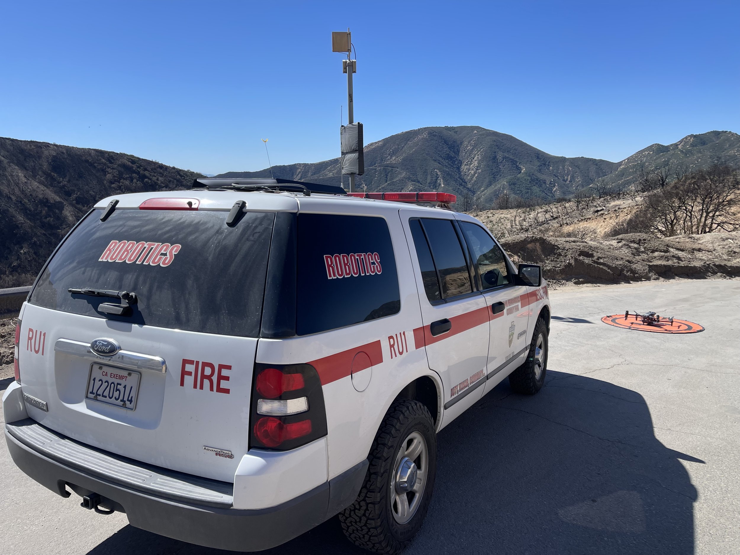
Whether you are an individual pilot pursuing a side hustle, or an organization building its drone program, making a map from drone imagery is a valuable skill and a relatively easy process. With Nova, all it takes is 3 clicks.

What is Geospatial Data?
Ever wondered how your phone knows the fastest route to your destination or how scientists predict the weather? The answer lies in the power of geospatial data, a force revolutionizing our digital and physical worlds. Geospatial data refers to the information we can collect surrounding a natural or constructed feature, such as a forest or body of water's specific geographic location and unique characteristics.

Orthomosaics Explained
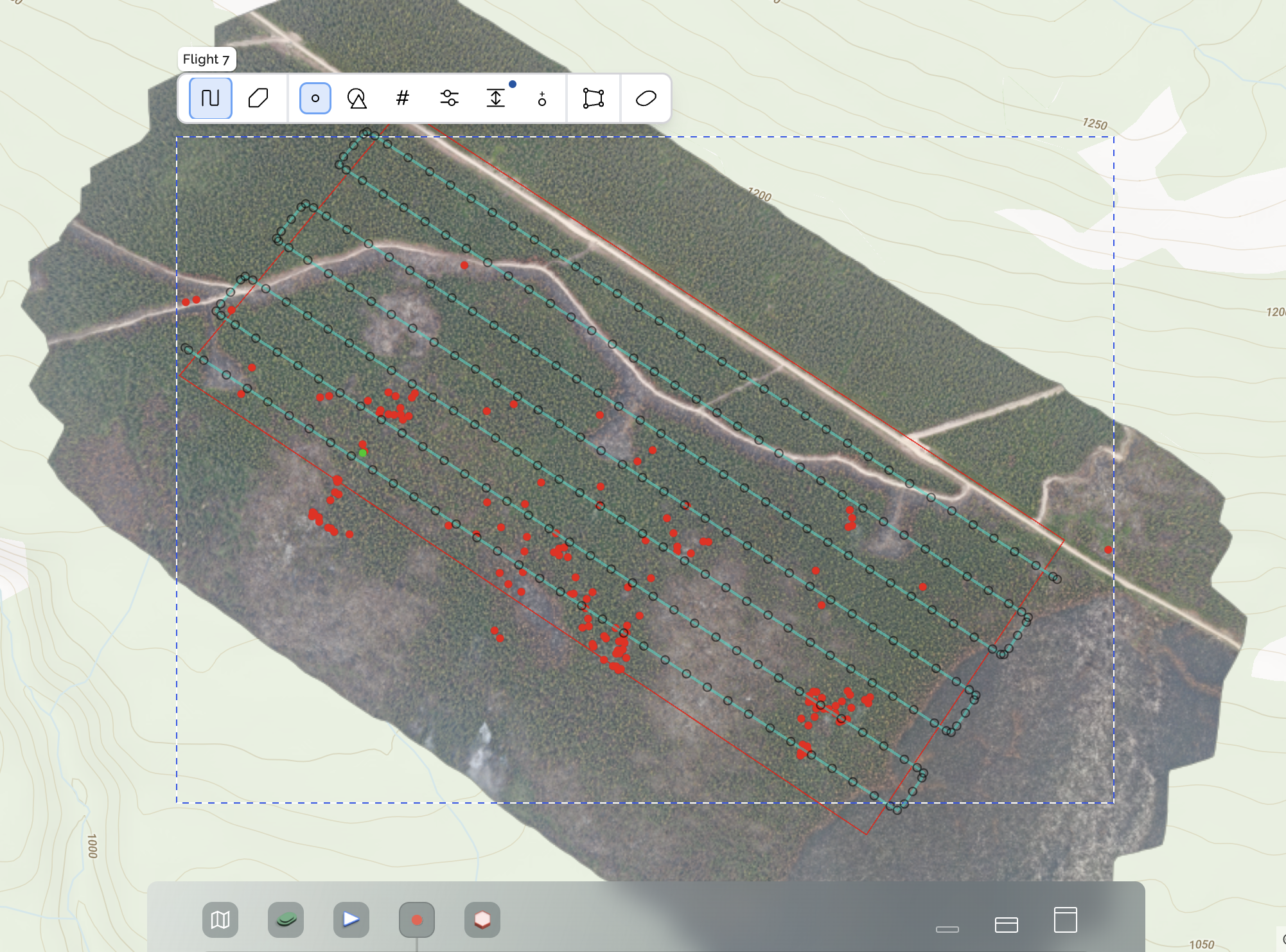
If you’re new to GIS or drones you may not be totally familiar with the term ‘orthomosaic’ just yet. But as you dive deeper into this world, it is unlikely that you will be able to avoid it. You are on the fast track to learning what orthomosaics (aka orthos) are and how beneficial they can be.